
File:Taiwan Strait.png
預覽大小:510 × 599 像素。 其他解析度:204 × 240 像素 | 409 × 480 像素 | 681 × 800 像素。
原始檔案 (681 × 800 像素,檔案大小:207 KB,MIME 類型:image/png)
摘要
| 描述 |
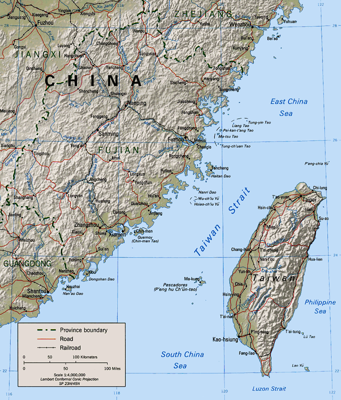
English: Map of the Taiwan Strait 閩南語 / Bân-lâm-gí:Tâi-uân Hái-kiap. 臺灣海峽 中文(中国大陆):台湾海峡地图 中文(简体):台湾海峡地图 中文(臺灣):臺灣海峽地圖 中文(香港):臺灣海峽地圖 中文(繁體):臺灣海峽地圖 |
|||
| 來源 | Perry-Castañeda Library (Cleaned up version of en:Image:Taiwan straits.jpg, which is a work by the United States' government.) | |||
| 作者 | "The following maps were produced by the U.S. Central Intelligence Agency, unless otherwise indicated." | |||
| 授權許可 (重用此檔案) |
|
授權條款
| 本圖像是中央情報局僱員的職務作品。作為美國聯邦政府的作品,本圖像或媒體屬於公有領域。
|

|
檔案歷史
點選某个日期/時間檢視對應時刻的檔案。
| 日期/時間 | 縮圖 | 大小 | 用戶 | 備註 | |
|---|---|---|---|---|---|
| 目前 | 2005年1月15日 (六) 03:31 | | 681 × 800(207 KB) | MikeEdwards~commonswiki | Map of the Taiwan Strait -- pulled from Wikipedia for use in Wikinews{{GFDL}} |
檔案用途
下列13個頁面有用到此檔案:
全域檔案使用狀況
以下其他wiki使用了這個檔案:
- af.wikipedia.org 的使用狀況
- ar.wikipedia.org 的使用狀況
- ast.wikipedia.org 的使用狀況
- azb.wikipedia.org 的使用狀況
- az.wikipedia.org 的使用狀況
- ba.wikipedia.org 的使用狀況
- be-tarask.wikipedia.org 的使用狀況
- be.wikipedia.org 的使用狀況
- bg.wikipedia.org 的使用狀況
- bn.wikipedia.org 的使用狀況
- br.wikipedia.org 的使用狀況
- ca.wikipedia.org 的使用狀況
- cdo.wikipedia.org 的使用狀況
- ceb.wikipedia.org 的使用狀況
- cs.wikipedia.org 的使用狀況
- da.wikipedia.org 的使用狀況
- de.wikipedia.org 的使用狀況
- de.wikinews.org 的使用狀況
- el.wikipedia.org 的使用狀況
- en.wikipedia.org 的使用狀況
- Wade–Giles
- 1995
- Second Sino-Japanese War
- Talk:Administrative divisions of Taiwan
- Sino-Soviet split
- Second Taiwan Strait Crisis
- Cross-strait relations
- User:Mikepanhu/temp
- Pingtan Island
- Portal:Taiwan/Atlas
- Tancheng, Pingtan County
- Fifth Chen–Chiang summit
- User:Effer/China as an emerging superpower
- Portal:Taiwan/Geography
- Fujian–Taiwan relationship
- User:HarbourCard0/sandbox
檢視此檔案的更多全域使用狀況。