
File:BlankMap-World-Flattened.svg

此 SVG 檔案的 PNG 預覽的大小:800 × 406 像素。 其他解析度:320 × 162 像素 | 640 × 325 像素 | 1,024 × 519 像素 | 1,280 × 649 像素 | 2,560 × 1,299 像素 | 2,754 × 1,397 像素。
原始檔案 (SVG 檔案,表面大小:2,754 × 1,397 像素,檔案大小:1.68 MB)
摘要
| 描寫文 |
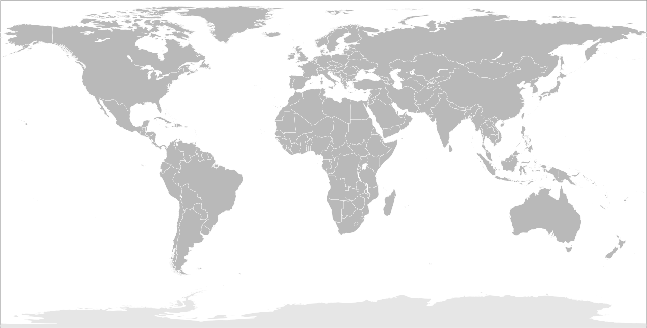
English: Blank political map of the world in modified (flattened) Robinson projection. This image is a sample of output from nugsl-worldmap, a Python script for the manipulation of this map. The script can also produce rotated images, add pinpoint marks at particular geographic coordinates, and produce web pages with clickable areas for specific countries and pinpoint marks.
Note that this map is not equirectangular, and cannot be used as a push-pin map to identify coordinates assuming equal latitude and longitude spacing. A map using the equirectangular projection is available at BlankMap-World6-Equirectangular.svg. |
|||||||||
| SVG開發 | ||||||||||
| 日期 | ||||||||||
| 來源 |
我個人以下列物件為基礎來創作: BlankMap-World.svg: |
|||||||||
| 創作作者 |
Frank Bennett |
|||||||||
| 授權許可 (重用此檔案) |
English: The map data manipulated by the script is in the public domain. The raw output of the script, including the file shown here, is also in the public domain. |
|||||||||
| Geotemporal data | ||||||||||
| 標題 |
 |
|||||||||
| 邊框 |
|
|||||||||
| 地理參考 | 如果不合適,請設定「warp_status = skip」為隱藏。 | |||||||||
| 其他版本 |
Derivative works of this file:
|
|||||||||

授權條款
| 此作品已由其作者,Frank Bennett,釋出至公有領域。此授權條款在全世界均適用。 這可能在某些國家不合法,如果是的話: Frank Bennett授予任何人有權利使用此作品於任何用途,除受法律約束外,不受任何限制。 |
檔案歷史
點選某个日期/時間檢視對應時刻的檔案。
| 日期/時間 | 縮圖 | 大小 | 使用者 | 備註 | |
|---|---|---|---|---|---|
| 目前 | 2014年3月20日 (四) 10:44 | | 2,754 × 1,397(1.68 MB) | Underlying lk | fix classes for Soudan and South Soudan |
| 2013年3月16日 (六) 16:01 |  | 2,754 × 1,397(1.68 MB) | Flappiefh | South Sudan added. | |
| 2008年1月14日 (一) 11:47 |  | 2,754 × 1,397(1.67 MB) | Biercenator | Updated to current version of map produced by the script. | |
| 2007年12月19日 (三) 13:22 |  | 940 × 477(1.99 MB) | Biercenator | == Summary == Refactored from en:Image:BlankMap-World6.svg, q.v. This image is a sample of output from [http://gsl-nagoya-u.net/appendix/software/worldmap/ nugsl-worldmap], a Python script for the manipulation and maintenance of this map. The flatt | |
| 2007年12月15日 (六) 15:31 |  | 940 × 477(2 MB) | Biercenator | Refactored from en:Image:BlankMap-World6.svg, q.v. This image might prove useful if you want to change the area shown in the center of the Robinson projection version, since the conversion can be reversed. | |
| 2007年12月15日 (六) 15:18 |  | 940 × 477(2 MB) | Biercenator | == Summary == Refactored from en:BlankMap-World6.svg, q.v. This image might prove useful if you want to area shown in the center of the Robinson projection version, since the conversion can be reversed. |
檔案用途
沒有使用此檔案的頁面。
全域檔案使用狀況
以下其他wiki使用了這個檔案:
- ca.wikipedia.org的使用狀況
- de.wikipedia.org的使用狀況
- en.wikipedia.org的使用狀況
- es.wikipedia.org的使用狀況
- fr.wikipedia.org的使用狀況
- he.wikipedia.org的使用狀況